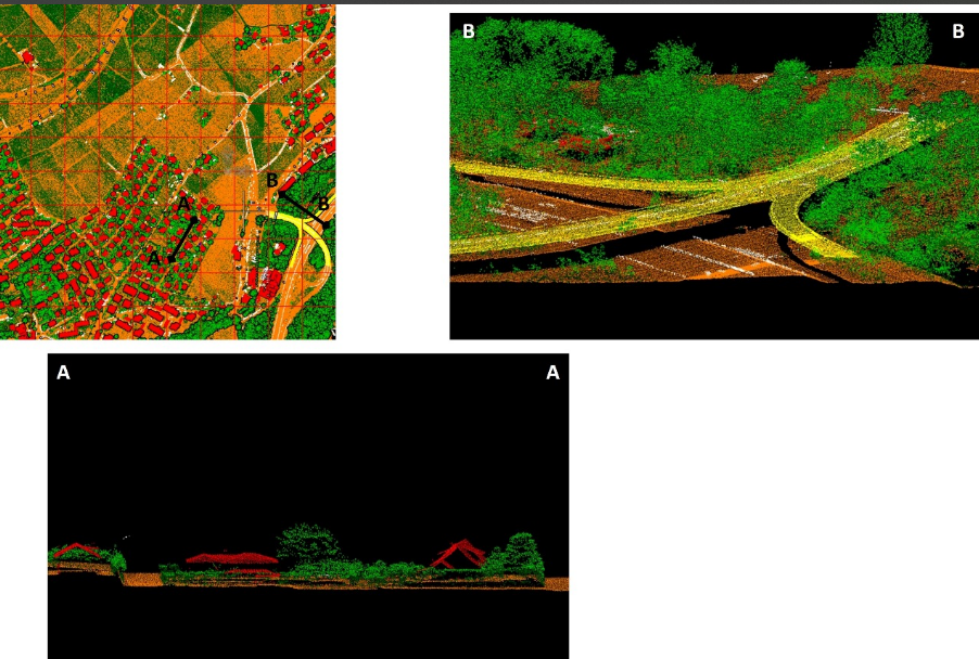
Classification LIDAR
Classification et traitement des nuages de points LIDAR pour la modélisation 3D.
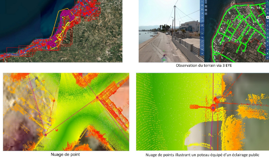
Points
3D
Analyse
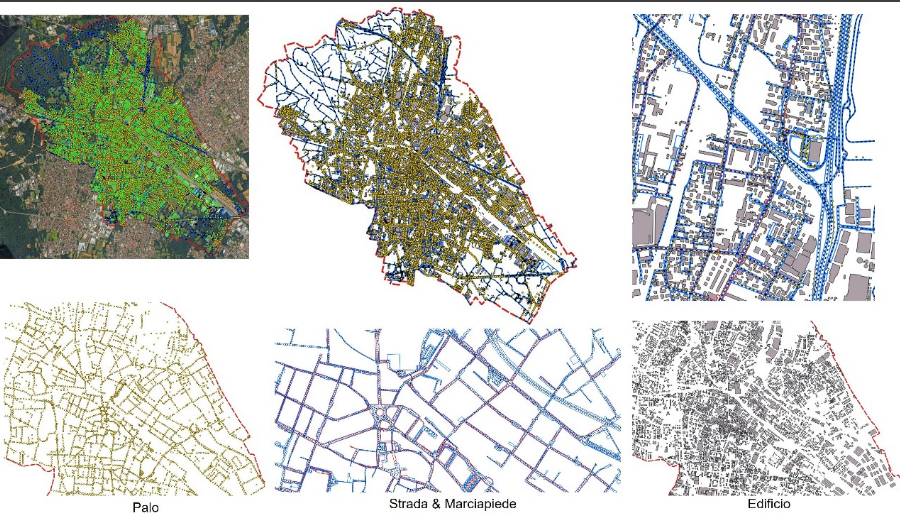
Classification, digitalisation, qualité et infrastructure.
Classification et traitement des nuages de points LIDAR pour la modélisation 3D.
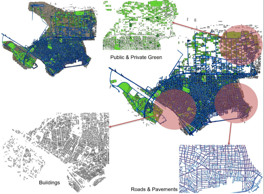
Mise en place et gestion des infrastructures cartographiques.
Contrôle qualité des données géospatiales et validation des livrables.
Conversion et digitalisation de données LAS et PPG pour intégration SIG.